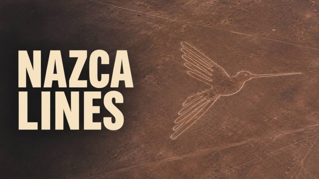
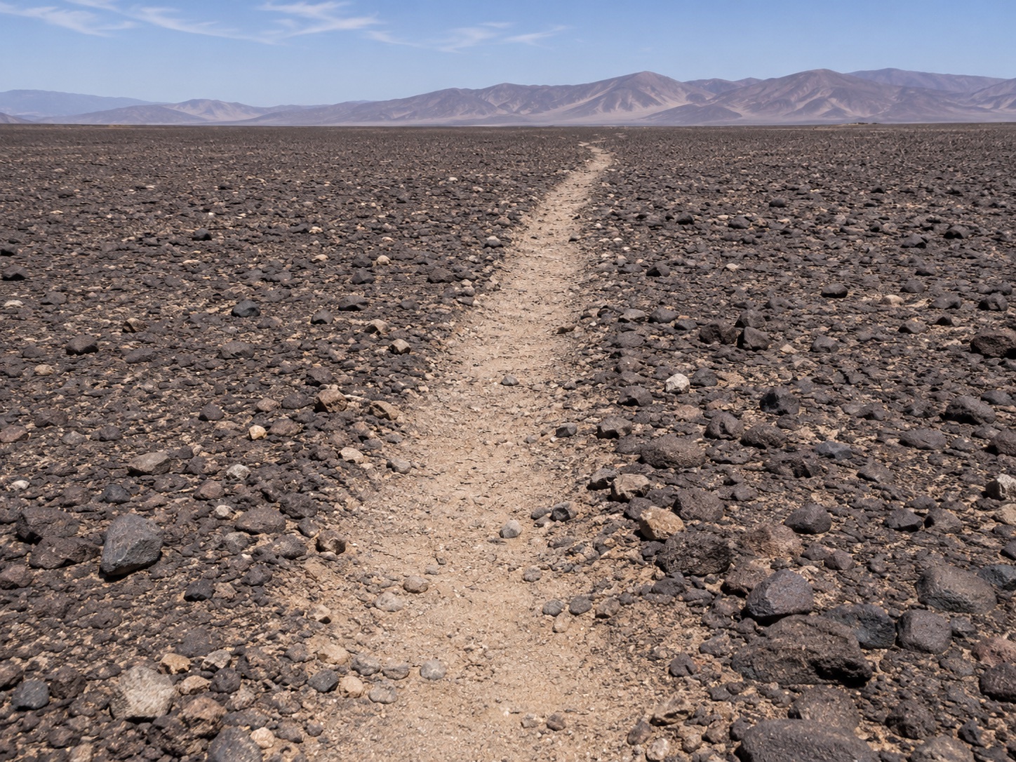
A small figure on Peru’s desert floor can be hard to pick out even in an aerial photograph. A few pale strokes show where darker stones were moved aside. Nearby, a footpath can be just as faint. In the Nazca desert, the relationship between those two traces has become part of the evidence.
From an image to a field record
The Nasca and Palpa World Heritage site includes long lines, geometric shapes and figures made on the desert surface. Clearing dark stones can expose lighter material underneath. Wind, traffic and the texture of the ground can make small designs difficult to distinguish from their surroundings.
In a 2024 survey, Masato Sakai and colleagues used machine learning to flag likely figures in aerial imagery. The team then checked candidates in the field and reported 303 new figurative geoglyphs. The figure counts the survey’s confirmed results. A promising shape in the imagery still needed checking on the ground.
In July 2025, Yamagata University announced 248 more geoglyphs from the continuing work, including 160 figurative designs. The field campaign extended the inventory, giving the team a larger set of locations to compare with paths and other marks.
Where the figures sit
The 2024 team found that many smaller figures lay near winding paths, while many large line figures were associated with networks of straight lines and trapezoids. That pattern led the researchers to suggest different ways people might have encountered the figures. Some could have been viewed by individuals or small groups walking nearby. Larger designs may have played a role in shared activities.
Location gives that interpretation something to test. Researchers can measure how far the figures lie from a route and ask what could be seen from it. To connect any individual image to a ceremony or message, they would also need evidence that people used the path and the figure together at the relevant time.
The survey’s closest view is also its simplest. A person crossing the desert might pass beside a small image that an aerial map makes look isolated. Finding the path puts the figure back into a landscape people walked through.
How to Read an Ancient Monument follows the evidence at other sites in this series.