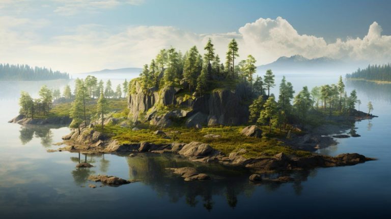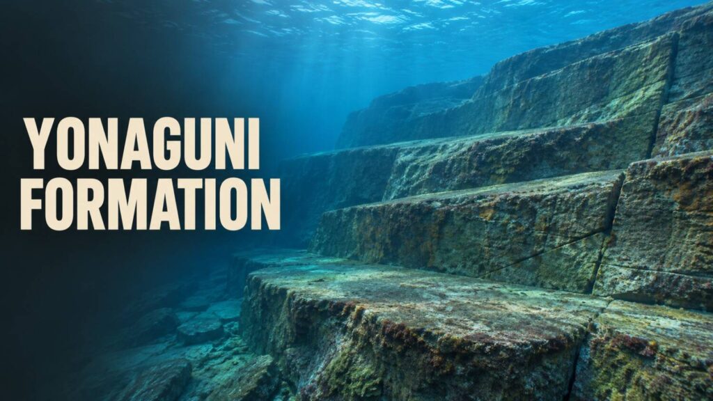
Off Yonaguni, broad stone ledges meet steep faces at angles that can look almost square. A diver approaching along one face can see what looks like a terrace. The wider view gives a way to test that impression. Do the edges follow breaks already present in the rock?
The geology above the water
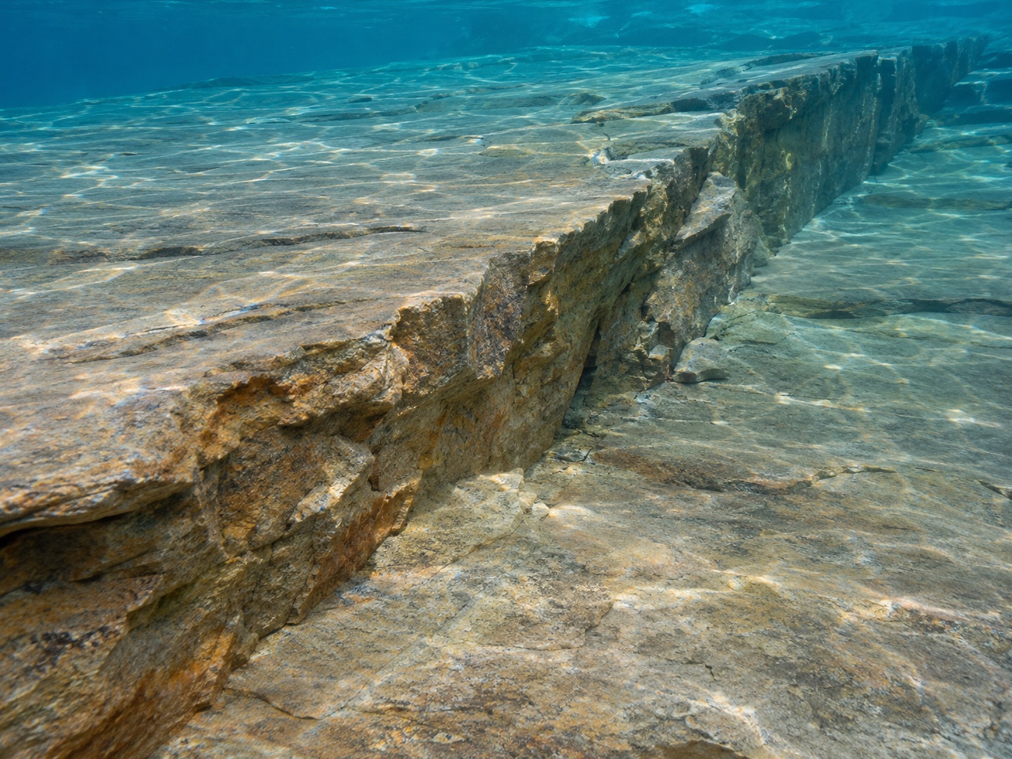
A 2020 study of Yonaguni’s landforms documents sandstone of the Yaeyama Group on the island and examines exposed faults, joints and shore platforms. A joint is a fracture in the rock. Where fractures cut across flatter layers, erosion can leave a ledge with a straight edge.
The island’s coastal outcrops provide comparisons for shapes underwater. A single straight face has limited value on its own. If a group of straight edges lines up with fractures visible in nearby outcrops, their orientation becomes evidence for how they formed.
Mapping the rock underwater
In a 2024 conference report, Hironobu Kan and colleagues described mapping seabed formations around Yonaguni with sonar, photographs taken by an underwater vehicle and dives. They observed flat-topped forms bounded by joints, along with ongoing erosion and pieces of rock peeling away. Their report found no archaeological artefacts or traces of human activity on the forms it discusses.
An earlier survey record hosted by Yonaguni Town preserves work treating the feature as a possible archaeological site. That interpretation raises a testable question about specific surfaces. Repeated tool marks, construction material in place or a dated deposit associated with alteration would each offer a way to test the claim.
A date would need an event
The age of the sandstone describes when the rock formed. The age of a terrace, the time it went underwater and the date of any proposed working are different events. A shoreline model can help estimate when a surface was exposed. Dating human work would require evidence tied to the act of modification.
The steps are easiest to interpret when they can be traced beyond the most striking view. If the same layers and fractures continue through neighbouring ledges, the larger map explains why a single face can look so regular.
Explore the evidence at other sites in How to Read an Ancient Monument.