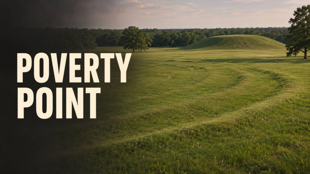
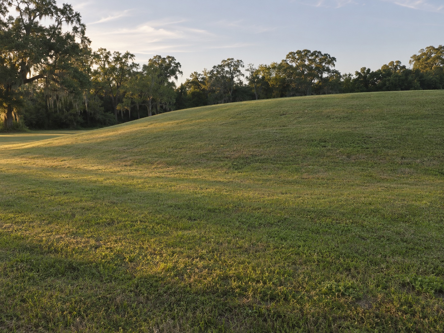
From the ground, some of the ridges at Poverty Point look like gentle rises in a lawn. Their arrangement is clearer on a plan. Several curves surround an open space, and larger mounds stand nearby. An excavation cut through one ridge shows how much can be learned from a few metres of that plan.
The shapes that survive
The World Heritage record for Poverty Point describes an Indigenous earthwork complex in northeastern Louisiana, built and used in the second millennium BCE. The site contains mounds, curved ridges and a broad plaza. Archaeologists can map those forms. They can also look for the surfaces people used before, during and after building them.
A ridge built in stages
A 2021 study at Ridge West 3 returned to a previously excavated section and examined its soil in greater detail. The researchers found evidence of activity on the ground before the ridge was built. They then identified successive deposits that they interpreted as rapid construction. Soil and dating evidence gave them a way to test a claim first made from the excavation.
A section through one ridge gives a local building sequence. A broader chronology study used radiocarbon dates from several contexts to work out when activity and construction occurred across the site. The timing of one deposit can be compared with the wider sequence without assuming every mound or ridge went up at the same pace.
What a building sequence leaves open
Rapid work shows that people could organise the movement of soil. Its purpose has to be approached through the places where people gathered, the objects and traces they left, and the timing of changes to the site. One published interpretation connects the building and use of the earthworks with communal performance and ritual. The interpretation depends on evidence from across the complex.
The ridge still rises only a little above the grass. The excavation beneath it preserves a sharper change, from ground people had used to earth they deliberately laid over it. That change gives the site a history beyond the shape on the map.
How to Read an Ancient Monument follows the evidence at other sites in this series.