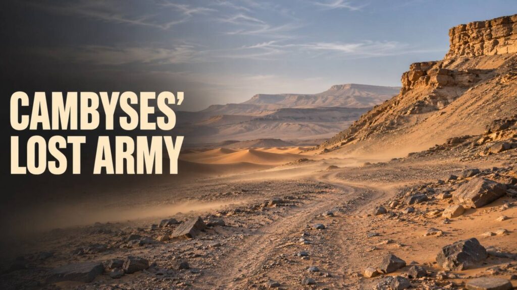
In Book Three of his Histories, Herodotus gets a Persian army as far as an oasis. After that, the route goes dark. He says the force had left Thebes for the land of the Ammonians, around what is now Siwa. The Ammonians told him that a strong south wind raised the sand while the troops were eating and buried them. Herodotus wrote in the fifth century BCE, decades after Cambyses II conquered Egypt in 525 BCE.
The last place in the account
Herodotus puts the size of the force at 50,000 and says it reached a place called Oasis, seven days from Thebes. The account distinguishes that stop from what came next. No one in his telling could say how far the army got after leaving, and the sandstorm comes from the people it was supposedly sent to attack. The figure and the route both come from the same narrative. An independent date or place would give researchers something to test against it.
The distinction between those locations matters. Siwa was the stated destination. The stop Herodotus calls Oasis is usually associated with Kharga. Dakhla, where the modern excavation evidence turned up, lies farther west. The ancient account supplies a direction of travel with a large gap in it.
A royal name at Amheida
In 2014, excavators working at Amheida in Dakhla identified temple blocks carrying the titles of an Egyptian ruler named Petubastis. In his study of the blocks and their historical context, Egyptologist Olaf Kaper calls him Petubastis IV. The site’s excavation reports document the temple area and the sequence of work there.
The blocks show that a ruler who claimed Egyptian kingship had a temple building or part of one erected in Dakhla. Kaper argues that the oasis gave Petubastis a base for a rebellion against Persian rule and that a defeat of Persian troops may lie behind the story Herodotus heard. That would put military resistance at the centre of an episode usually remembered for the weather. The inscription identifies the ruler and his royal titles. The proposed battle comes from how Kaper fits that evidence together with the historical accounts.
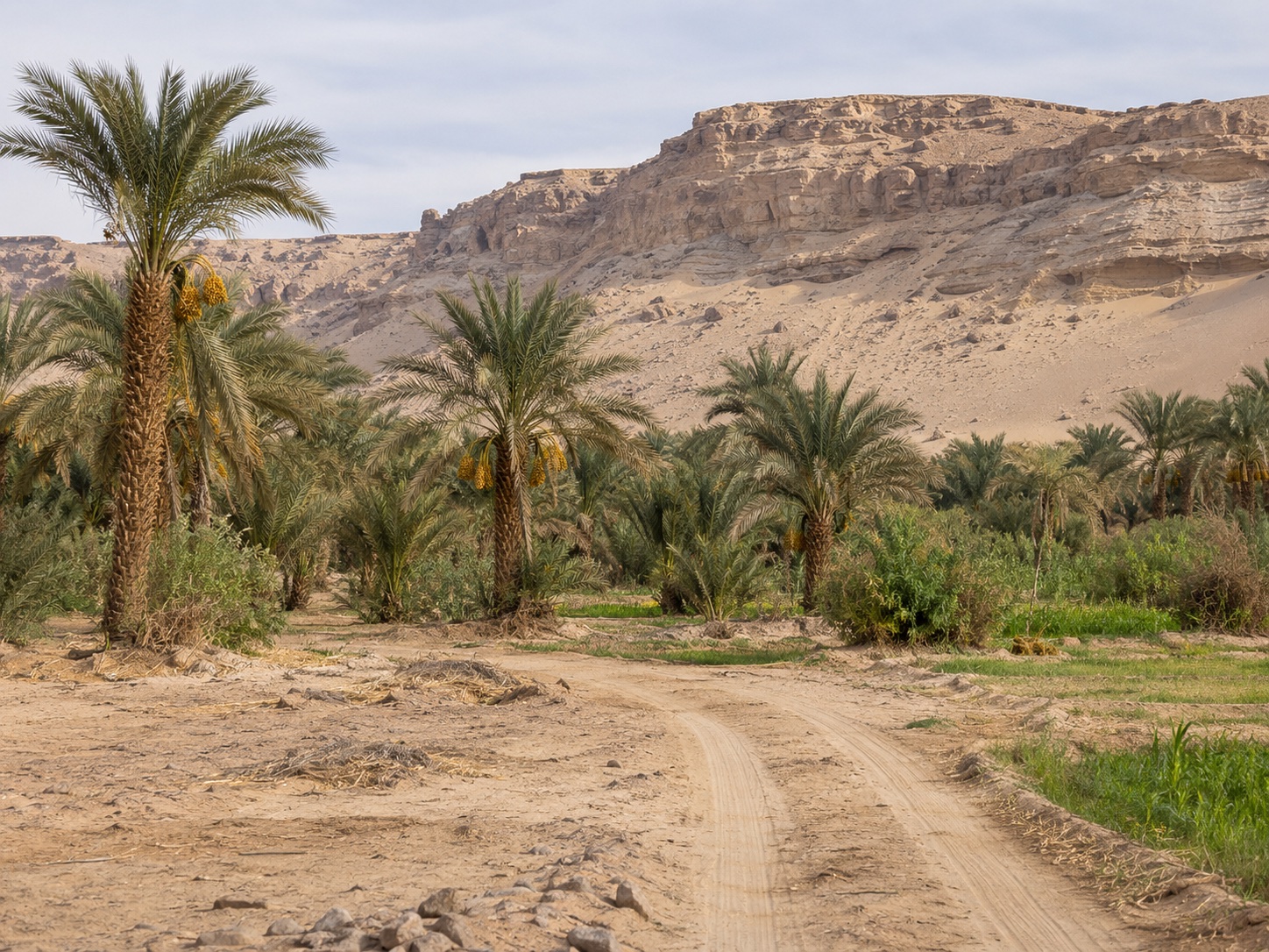
What would identify the army?
Bones or weapons in the Western Desert would need a documented findspot and a date that fits early Persian rule. Their arrangement and relationship to the surrounding deposits would help distinguish a single military event from burials or losses accumulated over years. Even a find from the right century would need a separate link to this expedition. Our guide, How to Find a Lost Settlement, explains how researchers make that connection between a reported place and the material they find.
For now the two strongest details sit in different places. Herodotus gives the army a last reported stop and a story about what followed. Amheida gives Petubastis a foothold in the oases. Between them lies the stretch of ground on which the Persian force still has to be found.