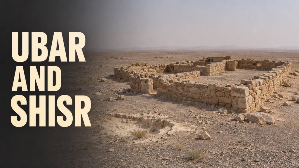
On satellite images of southern Oman, lines in the desert converged near a water source. At Shisr, an archaeological team investigated the remains of a fortified site. The discovery became associated with Ubar, and sometimes with Iram. The routes and ruins can be studied directly. The names have to be traced through the accounts that use them.
The place on the ground
Shisr is one of the sites in Oman’s Land of Frankincense World Heritage property. The inland site belongs to a network that also includes ports and the frankincense-growing landscape. A watering place on those routes could matter greatly to trade even if the buildings at the stop occupied a small area.
The World Heritage advisory evaluation records Ubar as one suggested identification for Shisr and mentions a separate suggestion linking it to a place in Ptolemy’s geography. These are proposals about a named place. The physical remains and the water source support the more immediate conclusion that the site served travellers in the interior.
What the images could show
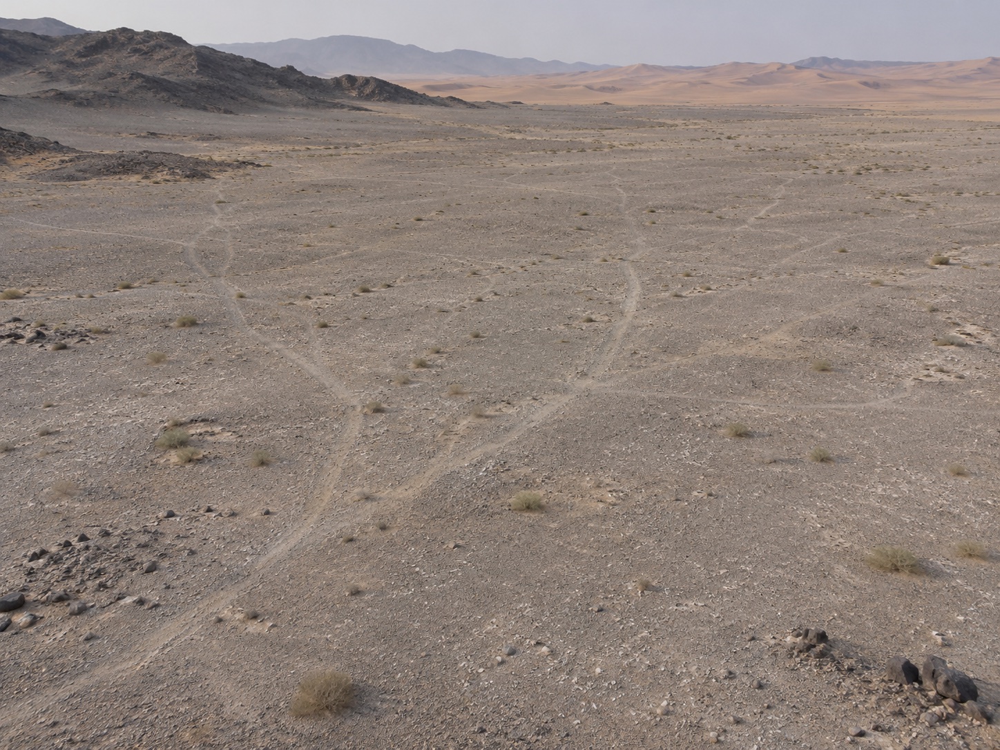
The Jet Propulsion Laboratory’s account describes how enhanced satellite imagery and radar helped the team distinguish old tracks from newer ones. The traces narrowed the search. They gave the archaeologists routes to follow and a reason to look more closely at the place where those routes came together.
A line visible from orbit records movement across the landscape. It cannot supply the name travellers used for a stop, or show whether a particular text refers to it. Those questions need evidence such as an inscription from the site or an independently traceable description of the route.
Where Iram enters the story
Verse 89:7 of the Qur’an names Iram in a passage associated with the people of ʿĀd. The English translations vary in whether they suggest a place, a people or an association with pillars. The verse gives no coordinates for Shisr.
The accounts meet at a question about names. The archaeology shows why travellers would stop at Shisr. The stronger identification would need a source that connects the name Ubar or Iram to this particular place and time. That is a different discovery from finding the route.